Delivering precision-driven GIS, Remote Sensing, and Surveying solutions tailored for data-driven decision making.
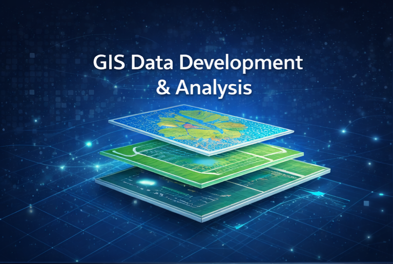
GIS Data Development & Analysis
We develop, process, analyze, and deliver high-accuracy GIS datasets tailored for infrastructure planning, urban development, environmental monitoring, and decision support systems
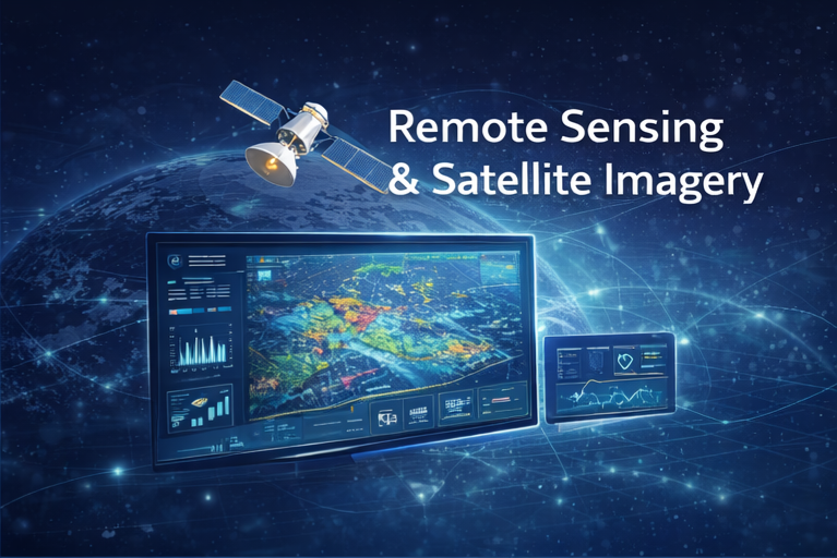
Remote Sensing & Satellite Imagery
Advanced satellite imagery acquisition, processing, classification, and interpretation for environmental analysis, land-use mapping, and resource monitoring.
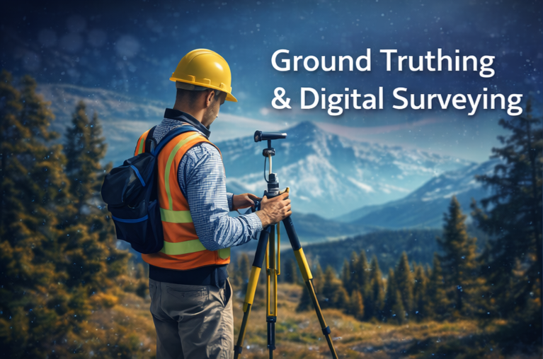
Ground Truthing & Digital Surveying
Field data collection and validation using GPS, GNSS, and digital surveying equipment to ensure reliable and validated spatial datasets.
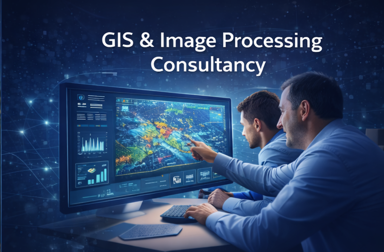
GIS & Image Processing Consultancy
Strategic consulting services to guide organizations in implementing GIS workflows, remote sensing methodologies, and geospatial decision-support systems.